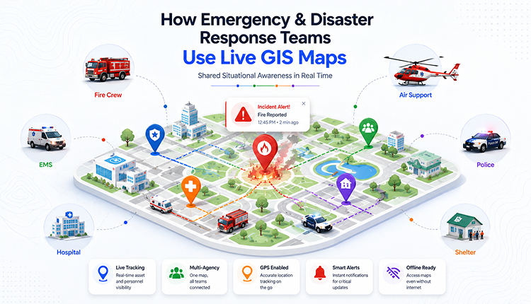
How Emergency & Disaster Response Teams Use Live GIS Maps
How a Single Shared Map Replaces Guesswork in the First Hour of a Crisis
Static maps and radio check-ins can't keep up with a fast-moving emergency. Discover how fire, police, EMS, and disaster management teams use live GIS maps to coordinate response in real time.
Read More →